
Find out what your land qualifies for - and get paid to restore it
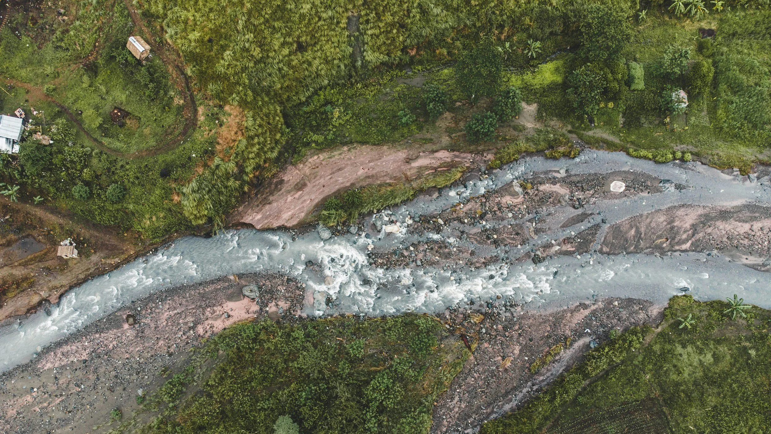
Three Pines GIS delivers spatially-grounded restoration intelligence reports for rural landowners, land trusts, and conservation buyers. We tell you what your land is worth ecologically, what it could become, and exactly which federal and state programs will fund the transition.
THE OPPORTUNITY
$25B+
in annual USDA conservation funding — most of it unclaimed by the landowners it's meant to serve
3-12 mo
typical wait time for NRCS appointment — before you even know if you qualify
7+
programs a 500-acre Oregon property may qualify for simultaneously, with no practical way to find them
Ready to find out what your land qualifies for?
Fill out the form below and we'll follow up within 48 hours with a scoped proposal and any questions we have about your parcel.
My Expertise
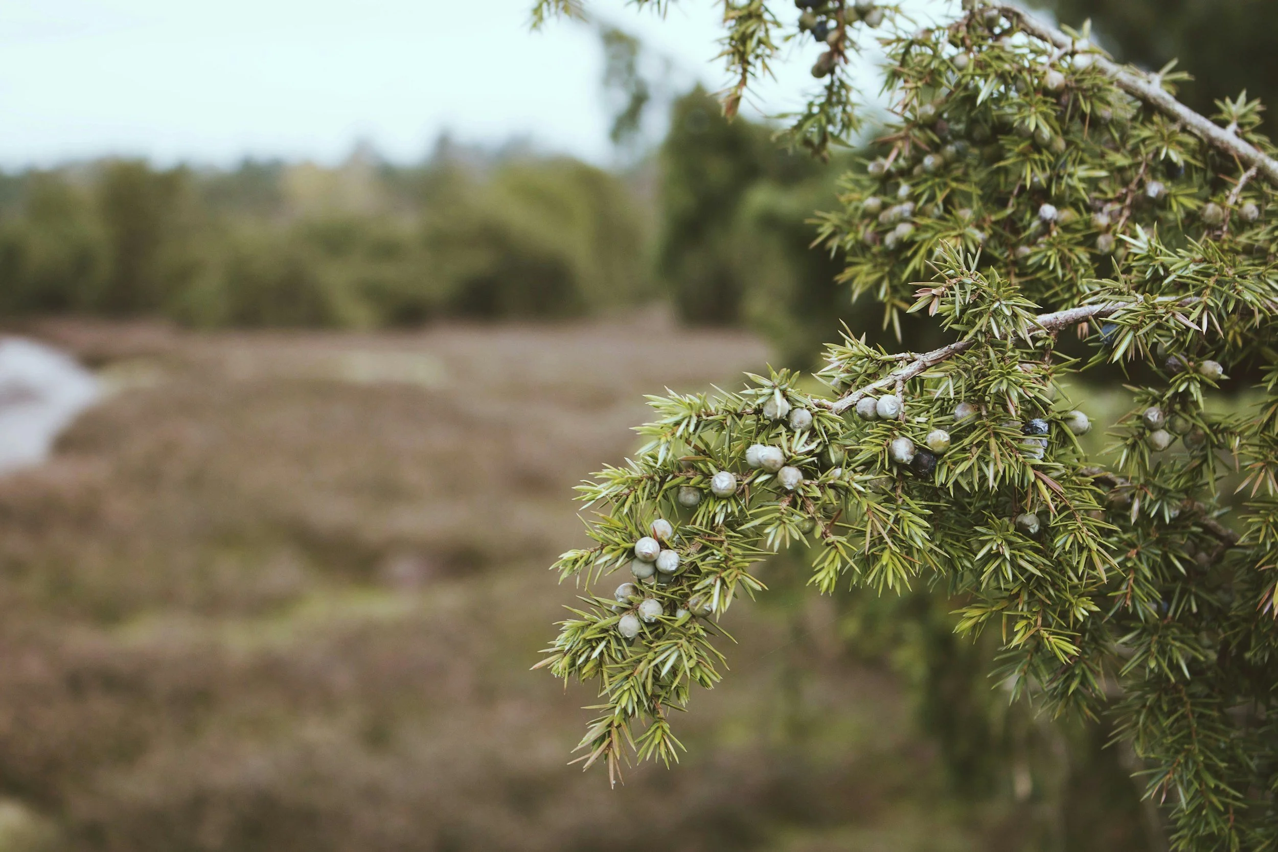
Three Pines GIS was founded in Bend, Oregon by a conservation scientist and spatial analyst with deep roots in the ecology of the intermountain west. I work at the intersection of land science, GIS, and conservation finance: a rare combination that makes our reports both technically rigorous and immediately actionable.
I work with individual landowners, land trusts, conservation districts, and acquisition teams across Oregon and the Pacific Northwest. Every report is personally researched and written, not generated from a form.
PhD-level expertise in vegetation ecology and paleoecology
Proficiency in R, Python, QGIS, and federal geospatial data systems
Deep familiarity with USDA EQIP, CSP, ACEP, and Oregon state programs
SAM.gov registered · Women-owned small business
Based in central Oregon; serving landowners across Oregon, the Pacific Northwest, and the Intermountain West