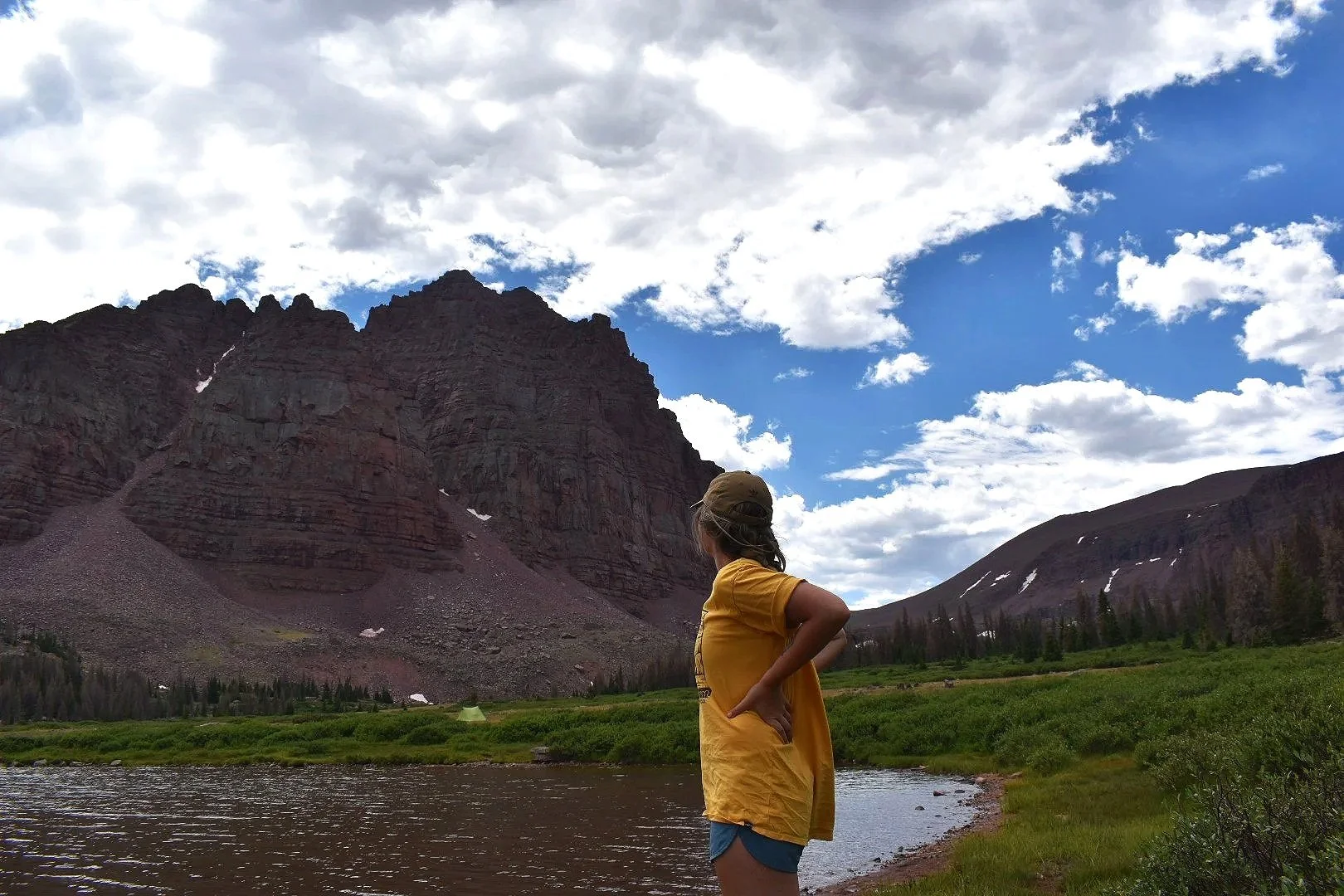
About Me
About Three Pines GIS
I believe the best maps tell stories — ones that are as rigorous as they are beautiful. I sit at the intersection of art and science, bringing together precise geospatial analysis and thoughtful design to produce work that informs, communicates, and inspires.
What We Do
Three Pines GIS offers a range of freelance and consulting services built around the power of place:
Cartography & Map Design — Visually compelling maps for publication, technical reports, resource management, and beyond. Every map is crafted to be both accurate and aesthetically intentional.
Geospatial & Data Science — Spatial analysis, data processing, and interpretation that turns complex datasets into clear, actionable insights.
Scripting & Automation — Custom scripts and workflows that streamline your GIS processes and make your data work harder for you.
My Values
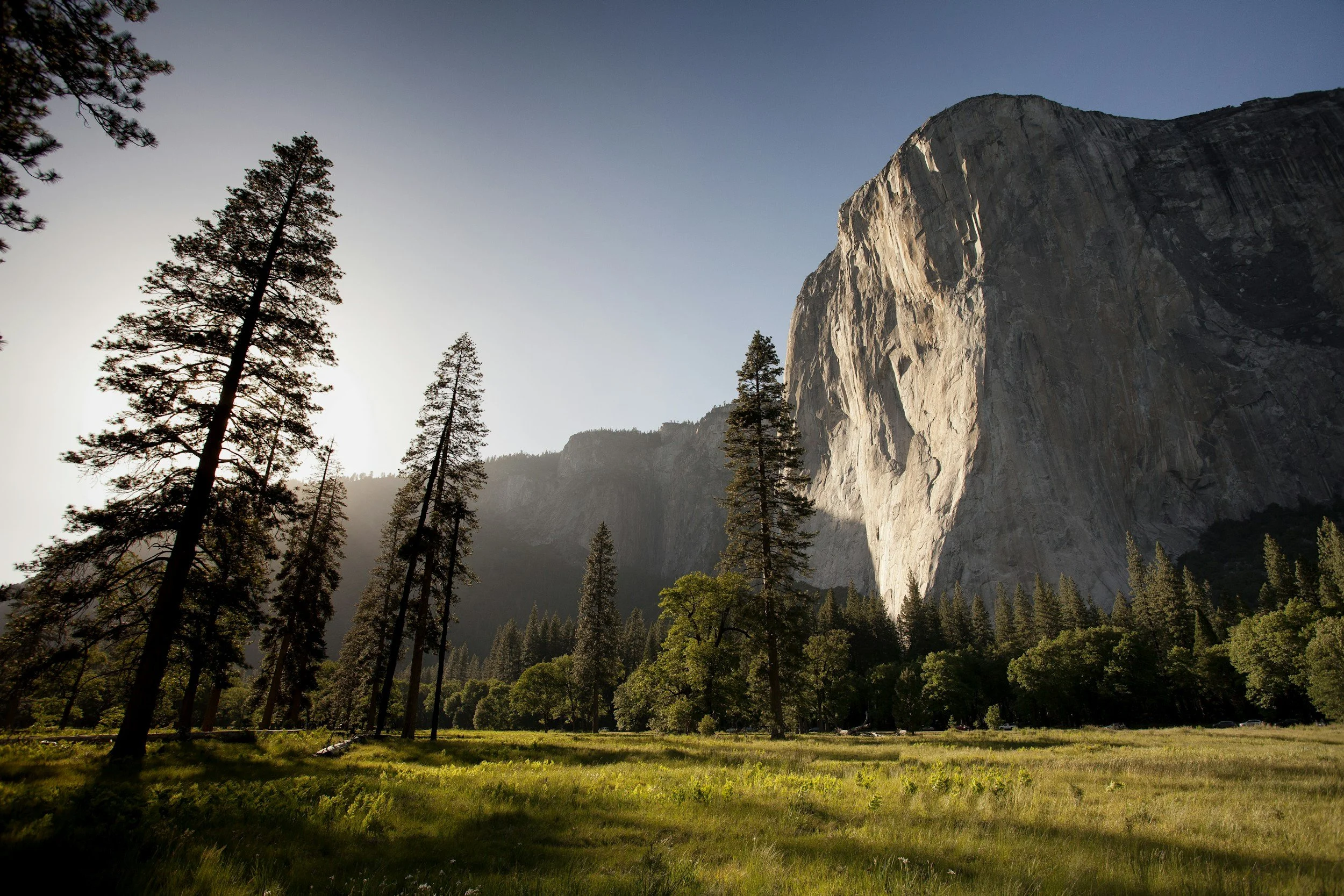
I’m driven by a deep curiosity about the natural world and a genuine commitment to environmental stewardship. I approach every project with analytical rigor and a love for learning, bringing doctoral-level expertise without the walls of academia.
I believe geospatial work should be accessible, meaningful, and grounded in the real landscapes it represents. Whether you're managing a watershed, publishing a field guide, or building a data pipeline, we're here to help you see your work clearly — and beautifully.